Arrondissement of Tournai, Tournai

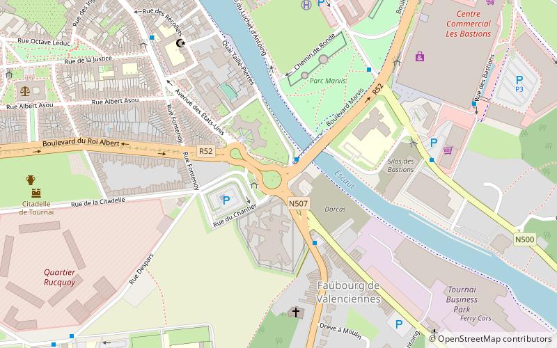
Map
Facts and practical information
The Arrondissement of Tournai is a former arrondissement in the Walloon province of Hainaut, Belgium. It is both an administrative and a judicial arrondissement. However, the Judicial Arrondissement of Tournai also comprises the municipality of Lessines in the Arrondissement of Soignies and all municipalities of the Arrondissement of Ath, with the exception of the municipalities of Brugelette and Chièvres. In 2019 it was merged into the new Arrondissement of Tournai-Mouscron. ()
Local name: Arrondissement administratif de Tournai Area: 234.56 mi²Coordinates: 50°35'60"N, 3°24'0"E
Address
Tournai
ContactAdd
Social media
Add
Day trips
Arrondissement of Tournai – popular in the area (distance from the attraction)
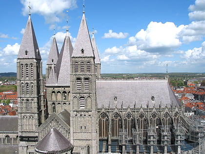
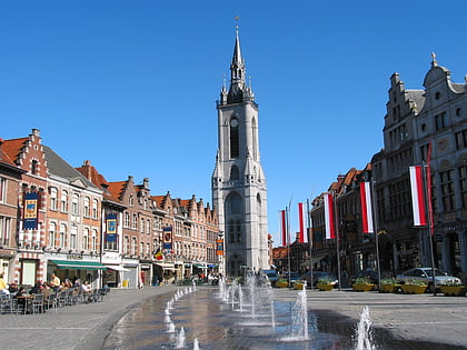
Nearby attractions include: Tournai Cathedral, Belfry, Musée des Beaux-Arts, Musée de la Tapisserie.
Frequently Asked Questions (FAQ)
Which popular attractions are close to Arrondissement of Tournai?
Nearby attractions include Louis Gallait, Tournai (15 min walk), Musée de la Tapisserie, Tournai (16 min walk), Belfry, Tournai (17 min walk), Musée des Beaux-Arts, Tournai (17 min walk).
How to get to Arrondissement of Tournai by public transport?
The nearest stations to Arrondissement of Tournai:
Bus
Train
Bus
- Dorcas • Lines: 8, R, V (1 min walk)
- Prison • Lines: 8, 98, V, W (2 min walk)
Train
- Tournai (23 min walk)


