Vilvoorde Viaduct, Brussels
Map

Map

Facts and practical information
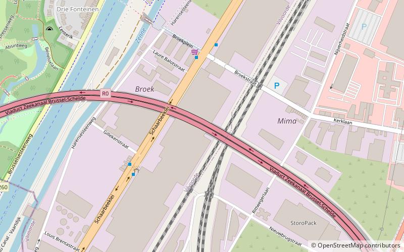
The Vilvoorde viaduct is part of the R0 Brussels beltway. ()
Address
Brussels
ContactAdd
Social media
Add
Day trips
Vilvoorde Viaduct – popular in the area (distance from the attraction)
Nearby attractions include: Royal Greenhouses of Laeken, Museums of the Far East, Grimbergen Abbey, Onze-Lieve-Vrouw ten Troost.
Frequently Asked Questions (FAQ)
How to get to Vilvoorde Viaduct by public transport?
The nearest stations to Vilvoorde Viaduct:
Bus
Train
Ferry
Bus
- Vier Fonteinen • Lines: 58 (4 min walk)
- Bicoque • Lines: 58 (4 min walk)
Train
- Buda (11 min walk)
- Vilvoorde (24 min walk)
Ferry
- Park Drie Fonteinen • Lines: Wb (11 min walk)
- Vilvoorde centrum • Lines: Wb (19 min walk)

 Metro / Rail


