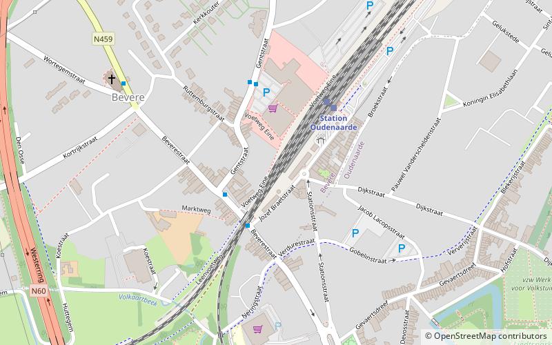
Arrondissement of Oudenaarde, Oudenaarde

Map
Facts and practical information
The Arrondissement of Oudenaarde is one of the six administrative arrondissements in the Province of East Flanders, Belgium. It is both an administrative and a judicial arrondissement. However, the Judicial Arrondissement of Oudenaarde also comprises the municipalities of Geraardsbergen, Herzele, Sint-Lievens-Houtem and Zottegem in the Arrondissement of Aalst. ()
Local name: Arrondissement administratif d'Audenarde Area: 161.7 mi²Coordinates: 50°50'60"N, 3°36'0"E
Address
Oudenaarde
ContactAdd
Social media
Add
Day trips
Arrondissement of Oudenaarde – popular in the area (distance from the attraction)
Nearby attractions include: Oudenaarde Town Hall, Church of Our Lady of Pamele, The Outsider Cablepark Oudenaarde, Centrum Ronde van Vlaanderen.
Frequently Asked Questions (FAQ)
Which popular attractions are close to Arrondissement of Oudenaarde?
Nearby attractions include Oudenaarde Town Hall, Oudenaarde (12 min walk), Centrum Ronde van Vlaanderen, Oudenaarde (15 min walk), Church of Our Lady of Pamele, Oudenaarde (19 min walk).


