Sint-Pietersplein, Ghent
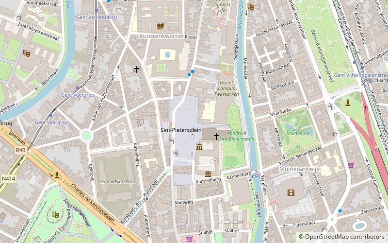
Map
Gallery
Facts and practical information
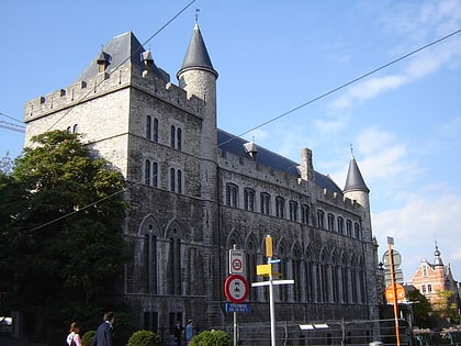
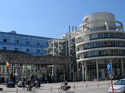
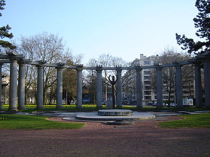
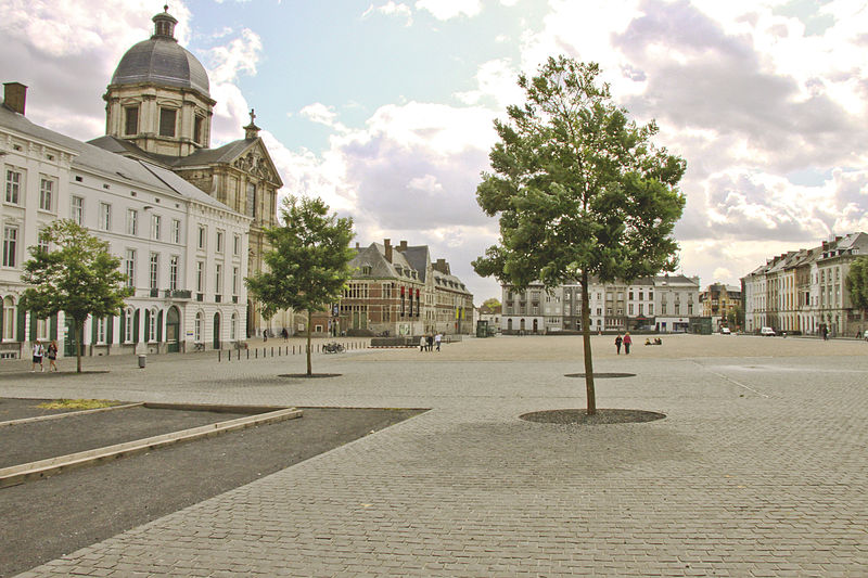
Sint-Pietersplein is a city square located in the south of the historic centre of Ghent, Belgium. The square is named after St. Peter's Abbey, which is located along its east side. It is Ghent's largest public square and a regular venue for cultural and sporting events, such as the annual Mid-Lent Fair in March. The square and its surrounding buildings are a protected cityscape. ()
Coordinates: 51°2'34"N, 3°43'35"E
Day trips
Sint-Pietersplein – popular in the area (distance from the attraction)
Nearby attractions include: St Bavo's Cathedral, Belfry of Ghent, Ghent City Museum, Hotel d'Hane-Steenhuyse.
Frequently Asked Questions (FAQ)
Which popular attractions are close to Sint-Pietersplein?
Nearby attractions include Saint Peter's Abbey, Ghent (2 min walk), Ghent University, Ghent (2 min walk), Blandijnberg, Ghent (3 min walk), Boekentoren, Ghent (4 min walk).
How to get to Sint-Pietersplein by public transport?
The nearest stations to Sint-Pietersplein:
Bus
Tram
Train
Bus
- Gent Sint-Pietersplein • Lines: 5, 8 (2 min walk)
- Gent Blandijnberg • Lines: 5, 8 (3 min walk)
Tram
- Stop (8 min walk)
- Gent Veergrep • Lines: 1 (7 min walk)
Train
- Gent-Sint-Pieters (22 min walk)
- Gent-Dampoort (29 min walk)


