Astrid Park, Brussels
Map

Gallery

Facts and practical information
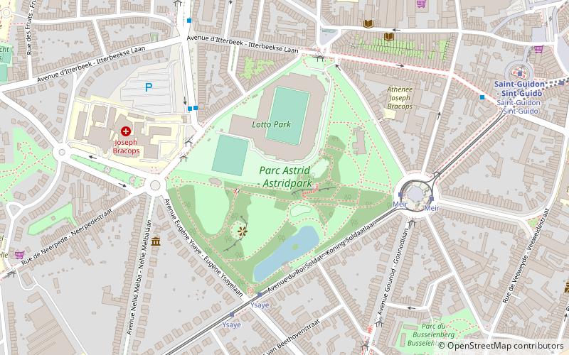
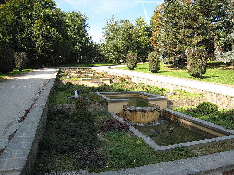
Astrid Park is an urban public park in the municipality of Anderlecht in Brussels, Belgium. The park was inaugurated on 13 August 1911 and was named the Parc du Meir/Meirpark until 1935, when the mayor of Anderlecht decided to change its name in memory of Queen Astrid, the first wife of King Leopold III, who died in a car crash that year. ()
Local name: Parc Astrid Created: 13 August 1911Elevation: 144 ft a.s.l.Coordinates: 50°49'59"N, 4°17'54"E
Address
Anderlecht (Parc Astrid)Brussels
ContactAdd
Social media
Add
Day trips
Astrid Park – popular in the area (distance from the attraction)
Nearby attractions include: Erasmus House, Wiels, Place de la Vaillance, Anderlecht.
Frequently Asked Questions (FAQ)
Which popular attractions are close to Astrid Park?
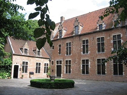
Nearby attractions include Collégiale Saints-Pierre-et-Guidon - Sint-Pieter-en-Sint-Guidokerk, Brussels (9 min walk), Place de la Vaillance, Brussels (11 min walk), Musée du Béguinage - Begijnhof Anderlecht, Brussels (12 min walk), Erasmus House, Brussels (13 min walk).
How to get to Astrid Park by public transport?
The nearest stations to Astrid Park:
Bus
Tram
Metro
Train
Bus
- Hôpital Joseph Bracops - Joseph Bracops-ziekenhuis • Lines: 116, 117, 118, 46, 75, 810 (4 min walk)
- De Linde • Lines: 116, 117, 118, 140, 46, 49, 571, 572, 810, N13 (5 min walk)
Tram
- Ysaye • Lines: 81 (5 min walk)
- Meir • Lines: 81 (5 min walk)
Metro
- Veeweyde - Veeweide • Lines: 5 (7 min walk)
- Saint-Guidon - Sint-Guido • Lines: 5 (9 min walk)
Train
- Anderlecht (28 min walk)

 Metro / Rail


