Knesselare

Gallery (3)
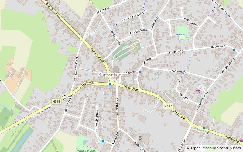
Map
Map
Gallery
Facts and practical information
Knesselare is a former municipality located in the Belgian province of East Flanders. The municipality comprises the towns of Knesselare proper and Ursel. On August 1, 2015, Knesselare had a total population of 8,171. The total area is 37.27 km² which gives a population density of 219 inhabitants per km². ()
Location
Vlaanderen
ContactAdd
Social media
Add
Day trips


