Borsbeek, Antwerp
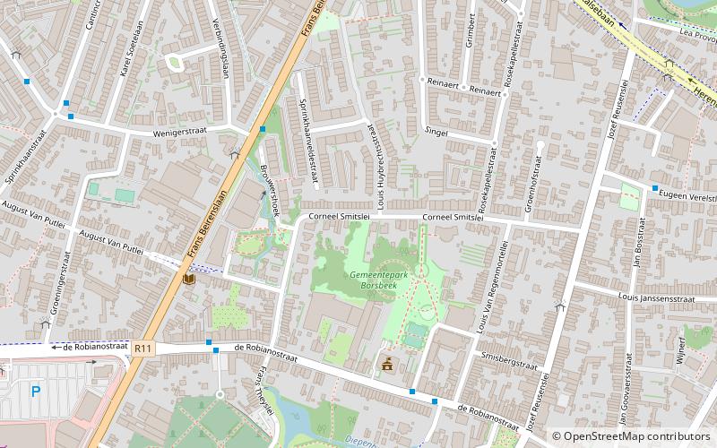
Map

Map

Facts and practical information
Borsbeek is a municipality located in Flanders, one of the three regions of Belgium, and in the Flemish province of Antwerp. The municipality only comprises the town of Borsbeek proper. On January 1, 2021 Borsbeek had a total population of 11,076. The total area is 3.92 km² which gives a population density of 2.825 inhabitants per km². ()
Day trips
Borsbeek – popular in the area (distance from the attraction)
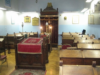
Nearby attractions include: Wijnegem Shopping Center, Bosuilstadion, Sterckshof, Eisenmann Synagogue.
Frequently Asked Questions (FAQ)
How to get to Borsbeek by public transport?
The nearest stations to Borsbeek:
Bus
Tram
Bus
- Borsbeek Dorp • Lines: 140, 141, 20, 242 (5 min walk)
- Kerkhof • Lines: 140, 141, 20, 242 (6 min walk)
Tram
- Krijgsbaan • Lines: 24, 4 (13 min walk)
- Silsburg • Lines: 24, 4 (13 min walk)


