Brussels–Scheldt Maritime Canal

Gallery (2)
Map
Map
Gallery
Facts and practical information
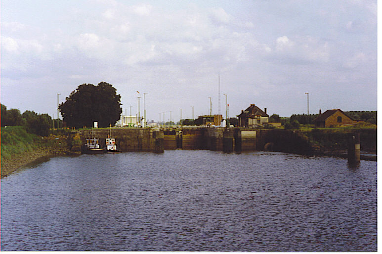
The Brussels–Scheldt Maritime Canal, is a canal in Belgium linking Brussels with the Scheldt river and ultimately the sea. The 28 km long canal has a width of 30 m. and a draught of 2 m. and connects the cities of Brussels and Willebroek, where it joins the Rupel river in the hamlet of Klein-Willebroek. Hence previously the canal was officially known as the Brussels-Rupel Maritime Canal prior to the establishment of a direct link with the Scheldt in 1997. ()
Location
Vlaanderen
ContactAdd
Social media
Add
Day trips


