Hauteroche Castle
Map

Map

Facts and practical information
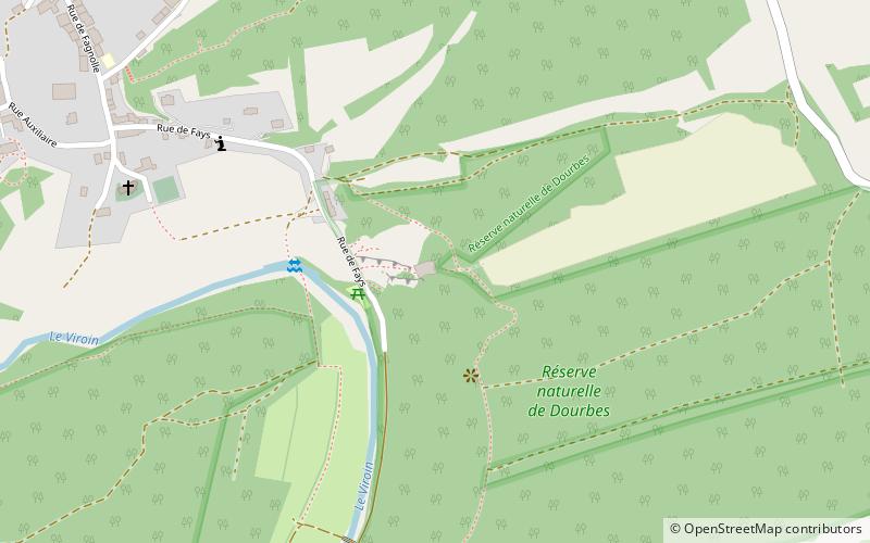
Hauteroche Castle is a ruined 14th-century castle, destroyed after a siege in 1554, in the village of Dourbes in the municipality of Viroinval, province of Namur, Wallonia, Belgium. ()
Coordinates: 50°5'15"N, 4°35'58"E
Location
Wallonie
ContactAdd
Social media
Add
Day trips
Hauteroche Castle – popular in the area (distance from the attraction)
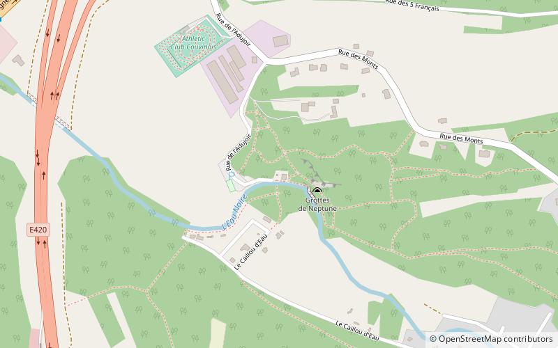
Nearby attractions include: Neptune Caves, Lake Ry de Rome, Château-ferme de Roly, Trou de l'Abîme.


