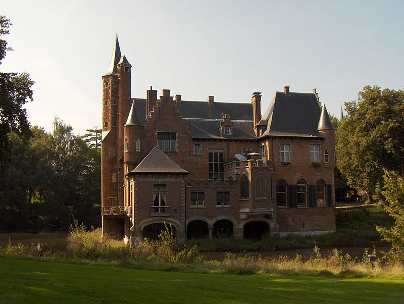
Kruibeke, Antwerp

Gallery (2)
Map
Map
Gallery
Facts and practical information
Kruibeke is a municipality located in the Belgian province of East Flanders. The municipality comprises the towns of Bazel, Kruibeke proper and Rupelmonde. On January 1, 2006, Kruibeke had a total population of 15,216. The total area is 33.42 km² which gives a population density of 455 inhabitants per km². ()
Getting there by public transportation
Public transportation stops near this location
- Bus
- Ferry
 Bus
Bus
- Calculate routeKruibeke Dorp 5 min walk
- Calculate routeKruibeke Scheldelei 21 min walk
Day trips


Frequently Asked Questions (FAQ)
How to get to Kruibeke by public transport?
The nearest stations to Kruibeke:
Bus
Ferry
Bus
- Kruibeke Dorp • Lines: 93, 95, 97 (5 min walk)
Ferry
- Kruibeke Scheldelei • Lines: Waterbus Schelde Hemiksem-Antwer, Waterbus Schelde Lillo-Antwerpen (21 min walk)