Meerdaal
Map

Map

Facts and practical information
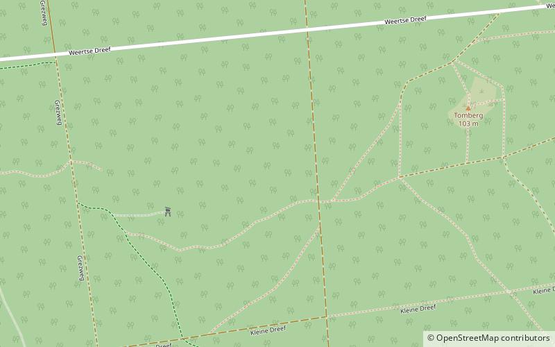
Meerdaal, also known as Meerdaalwoud and Meerdaalbos, is a woodland lying east of Brussels and south of Leuven, on the loess plateau of Brabant in central Belgium. The bigger part of it has most likely been continuously forested since the Middle Ages, but the archaeological record and geomorphology give evidence of a profound human influence, probably including agriculture, during the Roman era and the Iron Age. ()
Location
Vlaanderen
ContactAdd
Social media
Add
Day trips
Meerdaal – popular in the area (distance from the attraction)
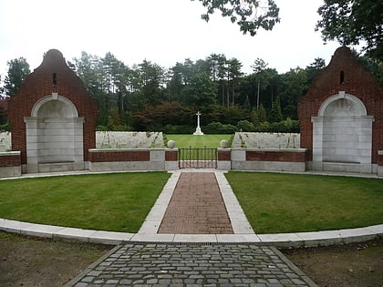
Nearby attractions include: Den Dreef, Park Abbey, Kasteel van Arenberg, Engels Kerkhof.


