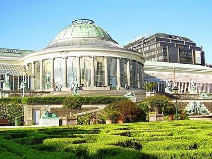
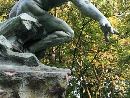
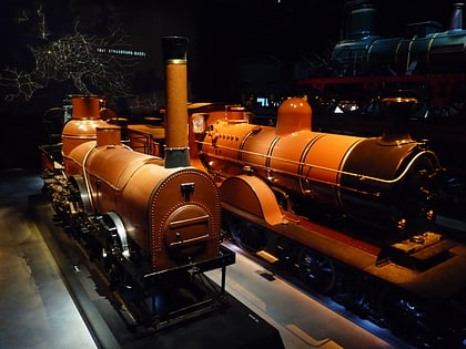
Schaerbeek, Brussels
Map

Gallery
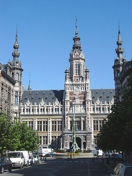
Facts and practical information
Schaerbeek or Schaarbeek is one of the 19 municipalities of the Brussels-Capital Region, Belgium. Located in the north-eastern part of the region, it is bordered by the City of Brussels, Etterbeek, Evere and Saint-Josse-ten-Noode. In common with all of Brussels' municipalities, it is legally bilingual. ()
Address
Schaerbeek (Collignon)Brussels
ContactAdd
Social media
Add
Day trips
Schaerbeek – popular in the area (distance from the attraction)
Nearby attractions include: Jazz Station, Tomb of the Unknown Soldier, Rogier, Botanical Garden of Brussels.
Frequently Asked Questions (FAQ)
Which popular attractions are close to Schaerbeek?
Nearby attractions include Brusilia, Brussels (4 min walk), Josaphat Park, Brussels (8 min walk), Schaerbeek Beer Museum, Brussels (10 min walk), Autrique House, Brussels (11 min walk).
How to get to Schaerbeek by public transport?
The nearest stations to Schaerbeek:
Bus
Tram
Train
Ferry
Metro
Bus
- Voltaire • Lines: 56 (2 min walk)
- Crossing • Lines: 56, 66 (4 min walk)
Tram
- Louis Bertrand • Lines: 7 (6 min walk)
- Hôpital Paul Brien - Paul Brien-ziekenhuis • Lines: 7 (6 min walk)
Train
- Schaerbeek - Schaarbeek (21 min walk)
- Evere (23 min walk)
Ferry
- Pont Van Praet - Van Praet brug • Lines: Wb (27 min walk)
Metro
- Botanique - Kruidtuin • Lines: 2, 6 (28 min walk)
- Rogier • Lines: 2, 6 (32 min walk)

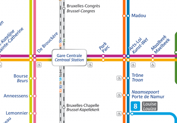 Metro / Rail


