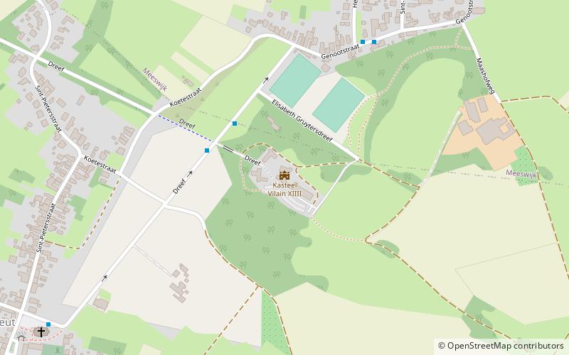
Kasteel Vilain XIIII

Gallery (1)
Map
Map
Facts and practical information
Kasteel Vilain XIIII (address: Dreef 148) is a place located in Belgium and belongs to the category of forts and castles.
It is situated at an altitude of 125 feet, and its geographical coordinates are 50°59'42"N latitude and 5°44'38"E longitude.
Among other places and attractions worth visiting in the area are: Ommerstein Castle (forts and castles, 91 min walk), Aspremont-Lynden Castle (forts and castles, 132 min walk).
Coordinates: 50°59'42"N, 5°44'38"E
Location
Dreef 148Vlaanderen
ContactAdd
Social media
Add
Day trips

