Trek Zone

Gemeentehuis Sint-Amands, Sint-Amands

#1 among attractions in Sint-Amands

City hall
Gemeentehuis Sint-Amands

Facts and practical information

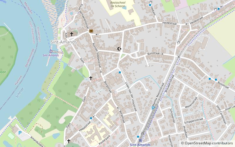
Gemeentehuis Sint-Amands (address: 10 Livien Van der Looystraat) is a place located in Sint-Amands (Vlaanderen region) and belongs to the category of city hall.

It is situated at an altitude of 20 feet, and its geographical coordinates are 51°3'17"N latitude and 4°12'18"E longitude.

Among other places and attractions worth visiting in the area are: Graftombe Emile Verhaeren (museum, 5 min walk), Buggenhout (locality, 72 min walk), Bornem Abbey, Bornem (monastery, 73 min walk).

Coordinates: 51°3'17"N, 4°12'18"E
Address

10 Livien Van der LooystraatSint-AmandsSint-Amands Belgium

ContactAdd
Social media
Add

Sint-Amands plan & book

Unleash the traveler in you — discover the cheapest flight deals, find the perfect hotel or hostel nearby, and search for the best car rental prices. Travel at your own pace to discover new places and enjoy your journey.

Day trips

Gemeentehuis Sint-Amands – popular in the area (distance from the attraction)

Nearby attractions include: Jazz Centrum Vlaanderen, Dendermonde Abbey, Zwembad Olympos, D'Ursel Castle.

  • jazz centrum vlaanderen dendermonde location map
    4.8 miSW
  • dendermonde abbey4.9 miW
  • zwembad olympos dendermonde4.6 miSW
  • dursel castle4.4 miNE
  • st bernards abbey schelle7.6 miNE
  • bornem abbey2.9 miN
  • bornem castle3.4 miN
  • roosenberg abbey waasmunster7.1 miNW
  • temse bridge4.6 miN
  • begijnhofmuseum en museum voor volkskunde dendermonde5.1 miW
  • fort van liezele puurs3.6 miE

Where to next? Visit vlaanderen Vlaanderen region page or discover the top tourist attractions in Belgium.