Administration communale de Fexhe-le-Haut-Clocher, Fexhe-le-Haut-Clocher
Map

Map

Facts and practical information
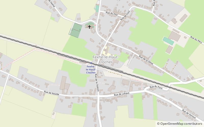
Administration communale de Fexhe-le-Haut-Clocher (address: Rue de la station, 27) is a place located in Fexhe-le-Haut-Clocher (Wallonie region) and belongs to the category of city hall.
It is situated at an altitude of 518 feet, and its geographical coordinates are 50°39'51"N latitude and 5°23'57"E longitude.
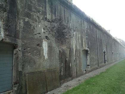
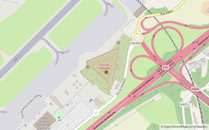
Among other places and attractions worth visiting in the area are: Fort de Hollogne (museum, 81 min walk), Remicourt (locality, 89 min walk), Crisnée (locality, 93 min walk).
Coordinates: 50°39'51"N, 5°23'57"E
Address
Rue de la station, 27Fexhe-le-Haut-Clocher 4347
Contact
+32 4 250 10 15
Social media
Add
Day trips
Administration communale de Fexhe-le-Haut-Clocher – popular in the area (distance from the attraction)
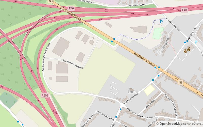
Nearby attractions include: Fort de Loncin, Fort de Hollogne, Waroux Castle, Fort de Flémalle.


