Église Sainte-Catherine - Sint-Katelijnekerk, Brussels
Map
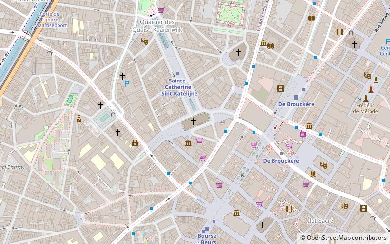
Map

Facts and practical information
The current Sainte-Catherine church of Brussels was built on the site of a basin of the old port of Brussels between 1854 and 1874. Open to the Place Sainte-Catherine, it replaced an old building dating back to the fifteenth century.
Architectural style: EclecticismCoordinates: 50°51'3"N, 4°20'55"E
Address
Place Sainte-Catherine / Sint-KatelijnepleinBruxelles-Ville (Dansaert)Brussels 1000
ContactAdd
Social media
Add
Day trips
Église Sainte-Catherine - Sint-Katelijnekerk – popular in the area (distance from the attraction)
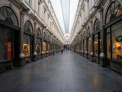
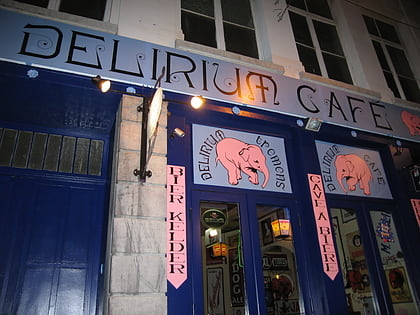
Nearby attractions include: Grand Place, Hôtel des Galeries, City Hall, Delirium Café.
Frequently Asked Questions (FAQ)
Which popular attractions are close to Église Sainte-Catherine - Sint-Katelijnekerk?
Nearby attractions include Église Ste-Catherine, Brussels (1 min walk), Black Tower, Brussels (2 min walk), Arrondissement of Brussels-Capital, Brussels (3 min walk), La Bellone, Brussels (3 min walk).
How to get to Église Sainte-Catherine - Sint-Katelijnekerk by public transport?
The nearest stations to Église Sainte-Catherine - Sint-Katelijnekerk:
Bus
Metro
Train
Tram
Ferry
Bus
- De Brouckère • Lines: 126, 127, 128, 29, 46, 66, 71, 89, N04, N05, N06, N08, N09, N10, N11, N12, N13, N16, N18 (4 min walk)
- Béguinage - Begijnhof • Lines: 126, 127, 128, 46, N18 (4 min walk)
Metro
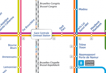
- Sainte-Catherine - Sint-Katelijne • Lines: 1, 5 (3 min walk)
- De Brouckère • Lines: 1, 5 (5 min walk)
Train
- De Brouckère (6 min walk)
- Bourse - Beurs (6 min walk)
Tram
- Bourse - Beurs • Lines: 3, 4 (6 min walk)
- De Brouckère • Lines: 3, 4 (6 min walk)
Ferry
- Sainctelette • Lines: Wb (17 min walk)
- Quai des Péniches - Akenkaai • Lines: Wb (17 min walk)

 Metro / Rail
