Zee-Polder-Zand, Oudenburg
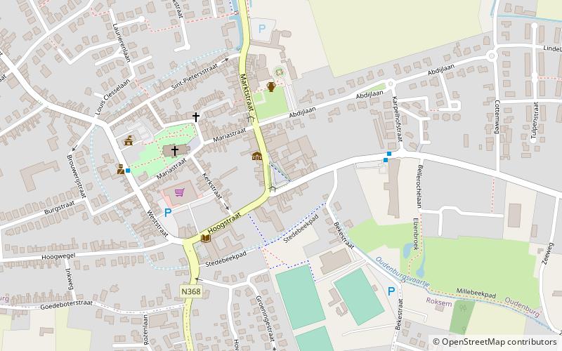
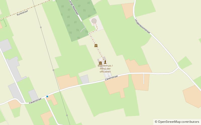
Map

Map

Facts and practical information
Zee-Polder-Zand is a place located in Oudenburg (Vlaanderen region) and belongs to the category of monuments and statues.
It is situated at an altitude of 20 feet, and its geographical coordinates are 51°11'2"N latitude and 3°0'26"E longitude.
Among other places and attractions worth visiting in the area are: Jozef Goemaere (memorial, 4 min walk), Oudenburg - Limburg-Dietkirchen Partnerschaft=Freundschaft (memorial, 5 min walk), Oostmolen, Gistel (windmill, 57 min walk).
Coordinates: 51°11'2"N, 3°0'26"E
Address
Oudenburg
ContactAdd
Social media
Add
Day trips
Zee-Polder-Zand – popular in the area (distance from the attraction)
Nearby attractions include: Fort Napoleon, Mu.ZEE, Lange Nelle, Sint-Petrus-en-Pauluskerk.
Frequently Asked Questions (FAQ)
Which popular attractions are close to Zee-Polder-Zand?
Nearby attractions include Jozef Goemaere, Oudenburg (4 min walk), Oudenburg - Limburg-Dietkirchen Partnerschaft=Freundschaft, Oudenburg (5 min walk).


