Chaussée de Wavre, Brussels


Facts and practical information
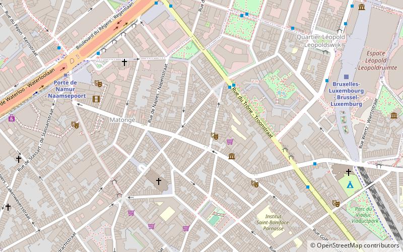
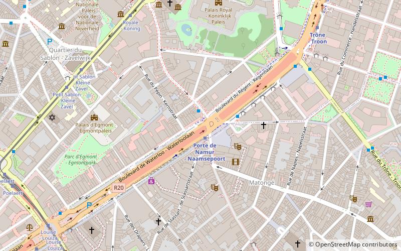
The Chaussée de Wavre or Waversesteenweg is a major street in Brussels, Belgium, running through the municipalities of Ixelles, Etterbeek and Auderghem. It starts at a crossroad with the Chaussée d'Ixelles/Elsensesteenweg near the Namur Gate in Ixelles, goes down to the Place Jourdan/Jourdanplein in Etterbeek, then goes up to the La Chasse crossroad, continues to the Arsenal crossroad with the Greater Ring. After this crossroad, the street enters Auderghem, crosses the Boulevard du Souverain/Vorstlaan, then merges with the European route E411 where it runs along the Red Cloister and then the Sonian Forest. At its end, the road crosses the Brussels Ring. This street is part of the N4 road, which connects Brussels to Arlon. It is named after the city of Wavre. ()
Ixelles (Matonge)Brussels
Chaussée de Wavre – popular in the area (distance from the attraction)
Nearby attractions include: Museum of Natural Sciences, Saint-Jacques-sur-Coudenberg, Royal Museums of Fine Arts of Belgium, BELvue Museum.
Frequently Asked Questions (FAQ)
Which popular attractions are close to Chaussée de Wavre?
How to get to Chaussée de Wavre by public transport?
Bus
- Londres - Londen • Lines: N06, N08 (3 min walk)
- Quartier Saint-Boniface - Sint-Bonifaaswijk • Lines: 54, 71, N09, N10 (5 min walk)
Metro
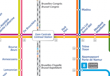
- Porte de Namur - Naamsepoort • Lines: 2, 6 (7 min walk)
- Trône - Troon • Lines: 2, 6 (8 min walk)
Train
- Brussels-Luxembourg (8 min walk)
- Germoir - Mouterij (18 min walk)
Tram
- Stéphanie - Stefania • Lines: 8, 92, 93, 97 (13 min walk)
- Royale - Koning • Lines: 92, 93 (13 min walk)

 Metro / Rail


