Destelbergen, Ghent
Map
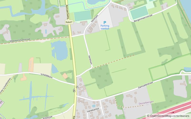
Map

Facts and practical information
Destelbergen is a municipality located in the Belgian province of East Flanders. The municipality comprises the towns of Destelbergen proper and Heusden and was created on January 1, 1977, by the fusion of these two municipalities. Its western border touches the municipality of Ghent and Melle and is formed by an ancient silted up branch of the river Scheldt. ()
Day trips
Destelbergen – popular in the area (distance from the attraction)
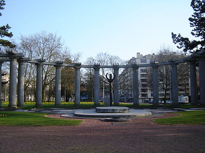
Nearby attractions include: Portus Ganda, Woodrow Wilsonplein, King Albert Park, Shoppingcentrum Zuid.
Frequently Asked Questions (FAQ)
How to get to Destelbergen by public transport?
The nearest stations to Destelbergen:
Bus
Bus
- Destelbergen Scheldekant • Lines: 34 (4 min walk)
- Destelbergen Kerk • Lines: 34, 35, 36 (11 min walk)


