Forest, Brussels
Map
Gallery
Facts and practical information
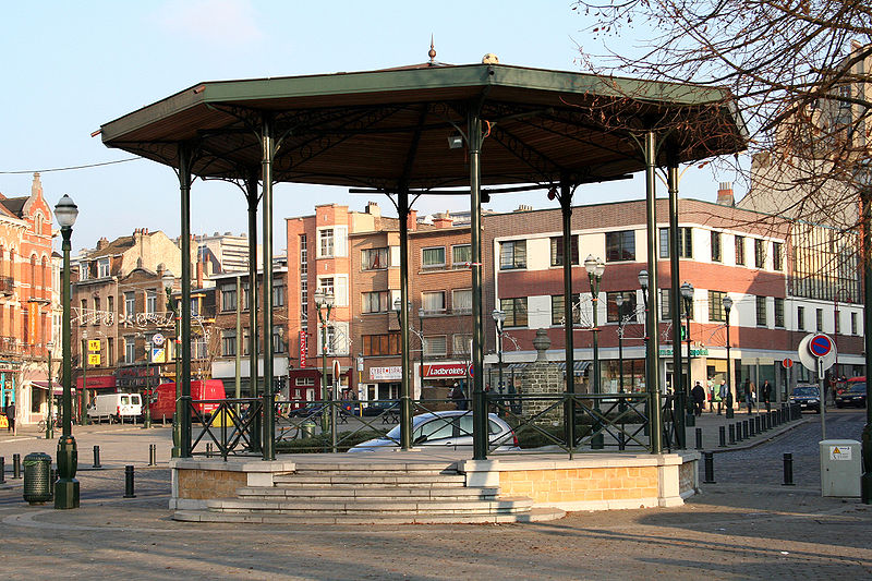
Forest or Vorst, is one of the 19 municipalities of the Brussels-Capital Region, Belgium. Located in the southern part of the region, it is bordered by Anderlecht, Ixelles, Uccle, and Saint-Gilles, as well as the Flemish municipality of Drogenbos. In common with all of Brussels' municipalities, it is legally bilingual. ()
Day trips
Forest – popular in the area (distance from the attraction)
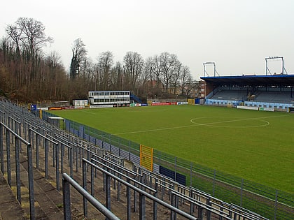
Nearby attractions include: Nemo 33, Forest National, Stade Joseph Marien, Wiels.
Frequently Asked Questions (FAQ)
Which popular attractions are close to Forest?
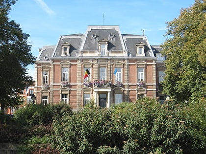
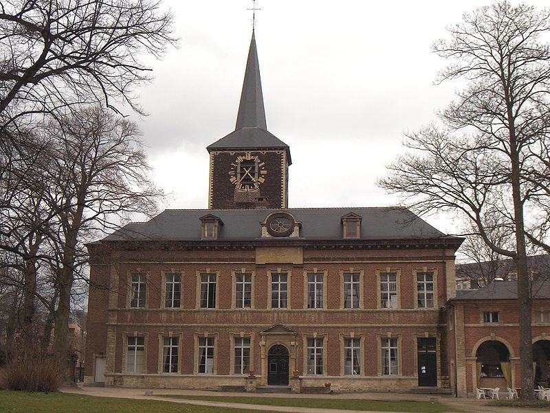
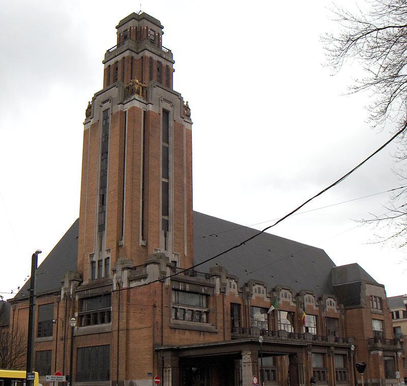
Nearby attractions include Abbaye de Forest, Brussels (3 min walk), Forest Town Hall, Brussels (3 min walk), Duden Park, Brussels (19 min walk), Stade Joseph Marien, Brussels (19 min walk).
How to get to Forest by public transport?
The nearest stations to Forest:
Tram
Train
Bus
Metro
Tram
- Saint-Denis - Sint-Denijs • Lines: 82, 97 (1 min walk)
- Forest Centre - Vorst Centrum • Lines: 82, 97 (4 min walk)
Train
- Forest-Est - Vorst-Oost (4 min walk)
- Forest-Midi - Vorst-Zuid (12 min walk)
Bus
- Gare de Forest-Est - Station Vorst-Oost • Lines: 52, 54, 74 (4 min walk)
- Forest Centre - Vorst Centrum • Lines: 50, 52, 54, 74 (5 min walk)
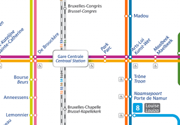
Metro
- La Roue - Het Rad • Lines: 5 (33 min walk)
- Bizet • Lines: 5 (35 min walk)



 Metro / Rail

