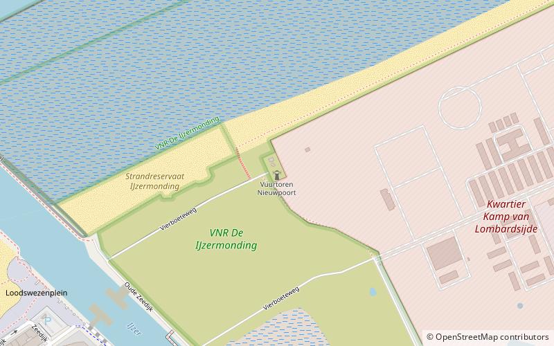
Vuurtoren Nieuwpoort
Map

Map

Facts and practical information
The Nieuport lighthouse, built in 1284, was the first lighthouse on the European continent.
Successive wars completely destroyed it; in 1949, a new lighthouse was erected in concrete. The current construction is 29 meters high and has a range of 15 miles. Its last keeper, who retired in 1963, has never been replaced.
The tower became a listed monument in 2004.
Coordinates: 51°9'17"N, 2°43'48"E
Location
Vlaanderen
ContactAdd
Social media
Add
Day trips
Vuurtoren Nieuwpoort – popular in the area (distance from the attraction)
Nearby attractions include: King Albert I Memorial, Atlantic Wall open-air museum, Abdijmuseum Ten Duinen, Ganzepoot.


