Spanbroekmolen
Map
Gallery
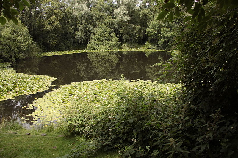
Facts and practical information
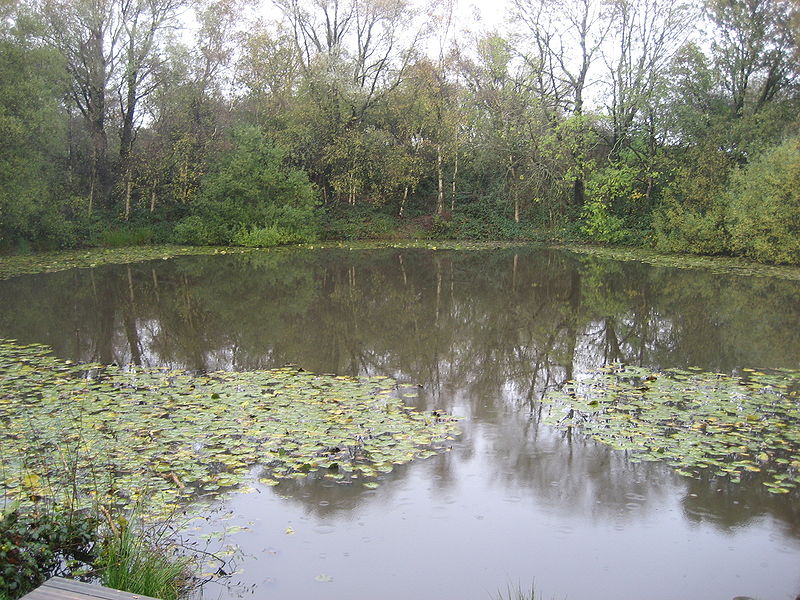
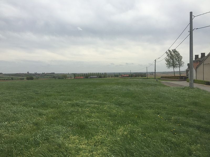
Spanbroekmolen is a small group of farms in Heuvelland, a municipality located in the Belgian province of West Flanders. The hamlet is sited on one of the highest points of the Messines Ridge, in between the villages of Kemmel, Wijtschate and Wulvergem. ()
Coordinates: 50°46'34"N, 2°51'43"E
Location
Vlaanderen
ContactAdd
Social media
Add
Day trips
Spanbroekmolen – popular in the area (distance from the attraction)
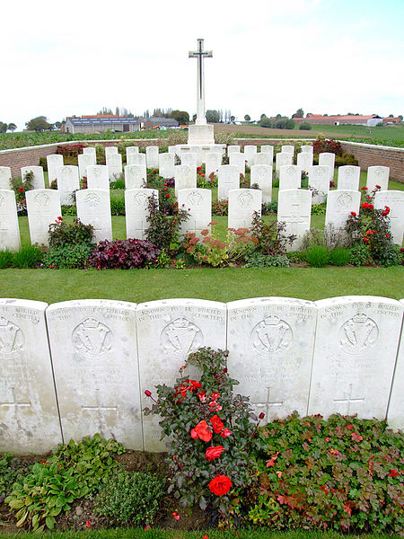
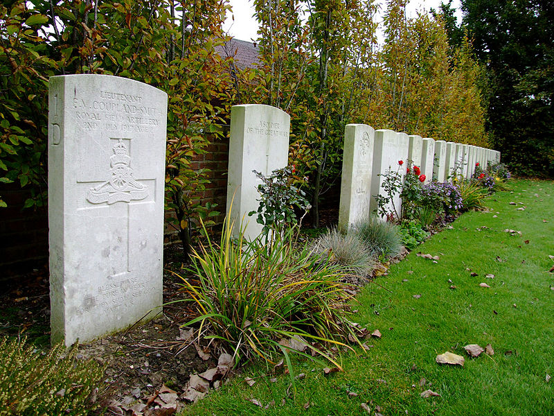
Nearby attractions include: Island of Ireland Peace Park, Messines Ridge British Cemetery, Croonaert Wood, Ploegsteert Memorial to the Missing.


