Sint-Martinus, Retie

Gallery (1)
Map
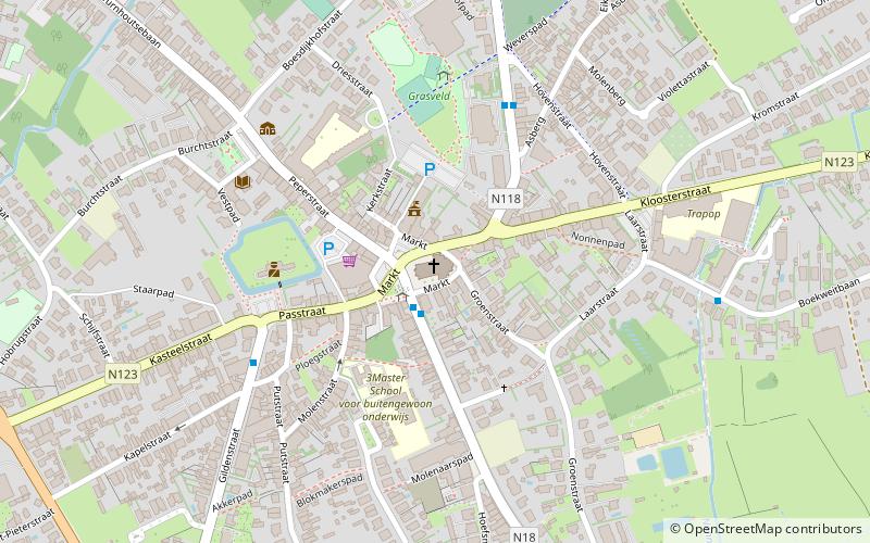
Map
Facts and practical information
Sint-Martinus is a place located in Retie (Vlaanderen region) and belongs to the category of church.
It is situated at an altitude of 82 feet, and its geographical coordinates are 51°16'2"N latitude and 5°5'6"E longitude.
Among other places and attractions worth visiting in the area are: Watermolen van Retie (brasserie, 56 min walk), Heilig Hart, Dessel (memorial, 56 min walk), Sint-Niklaaskerk, Dessel (church, 58 min walk).
Coordinates: 51°16'2"N, 5°5'6"E
Address
RetieRetie
ContactAdd
Social media
Add
Day trips