Lemmensmolen, Kinrooi

Gallery (1)
Map
Map
Facts and practical information
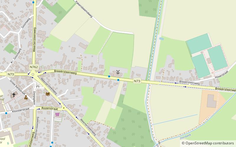
Lemmensmolen is a place located in Kinrooi (Vlaanderen region) and belongs to the category of windmill.
It is situated at an altitude of 98 feet, and its geographical coordinates are 51°8'44"N latitude and 5°44'53"E longitude.
Among other places and attractions worth visiting in the area are: Saint Martin's Church (church, 9 min walk), Zorgvlietmolen (windmill, 45 min walk), Maaslandse Wintertuin, Maaseik (hockey, 86 min walk).
Coordinates: 51°8'44"N, 5°44'53"E
Address
Kinrooi
ContactAdd
Social media
Add
Day trips


