Karmelietenkerk, Bruges

Facts and practical information
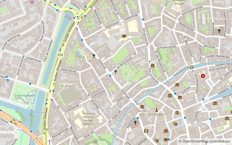
Karmelietenkerk (address: Ezelstraat 28) is a place located in Bruges (Vlaanderen region) and belongs to the category of church.
It is situated at an altitude of 30 feet, and its geographical coordinates are 51°12'46"N latitude and 3°13'9"E longitude.
Planning a visit to this place, one can easily and conveniently get there by public transportation. Karmelietenkerk is a short distance from the following public transport stations: Brugge De Snuffel (bus, 1 min walk), Brugge-Sint-Pieters (train, 27 min walk).
Among other places and attractions worth visiting in the area are: St. James's Church (church, 5 min walk), Frietmuseum (museum, 6 min walk), Ezelpoort (forts and castles, 7 min walk).
Ezelstraat 28Centrum (Ezelstraatkwartier)Bruges 8000
- Bus
- Train
 Bus
Bus
- Calculate routeBrugge De Snuffel 1 min walk
- Calculate routeBrugge Poitevinstraat 3 min walk
- Calculate routeBrugge Sint Jacobskerk 5 min walk
- Calculate routeBrugge Ezelpoort 5 min walk
- Calculate routeBrugge-Sint-Pieters 27 min walk
- Calculate routeBrugge 29 min walk
Karmelietenkerk – popular in the area (distance from the attraction)
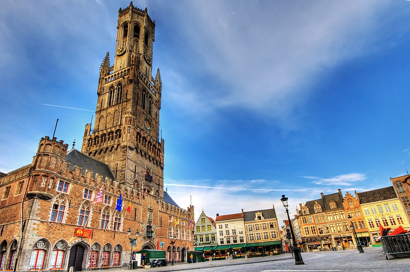
Nearby attractions include: Belfry, Basilica of the Holy Blood, Groeningemuseum, St. Salvator's Cathedral.


Frequently Asked Questions (FAQ)
Which popular attractions are close to Karmelietenkerk?
How to get to Karmelietenkerk by public transport?
Bus
- Brugge De Snuffel • Lines: 13, 3 (1 min walk)
- Brugge Poitevinstraat • Lines: 12, 13, 15, 17, 25, 4, 43, 5, 7, 9 (3 min walk)
Train
- Brugge-Sint-Pieters (27 min walk)
- Brugge (29 min walk)