Croix Scaille
Map

Map

Facts and practical information
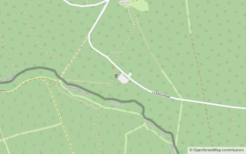
The Croix Scaille is the plateau of a forested massif in the Ardennes, in Wallonia, bounded to the north by the valley of the Semois and to the east by the Meuse. It is the highest point of the southern Ardennes, with a height of 504 metres above sea level and is located exactly on the Franco-Belgian border on the edge of the French département of Ardennes, and the Belgian province of Namur. ()
Location
Wallonie
ContactAdd
Social media
Add
Day trips
Croix Scaille – popular in the area (distance from the attraction)
Nearby attractions include: Tour du Millénaire, Gedinne.


