Oorlogsmonument 1914-1918, Zandhoven

Gallery (1)
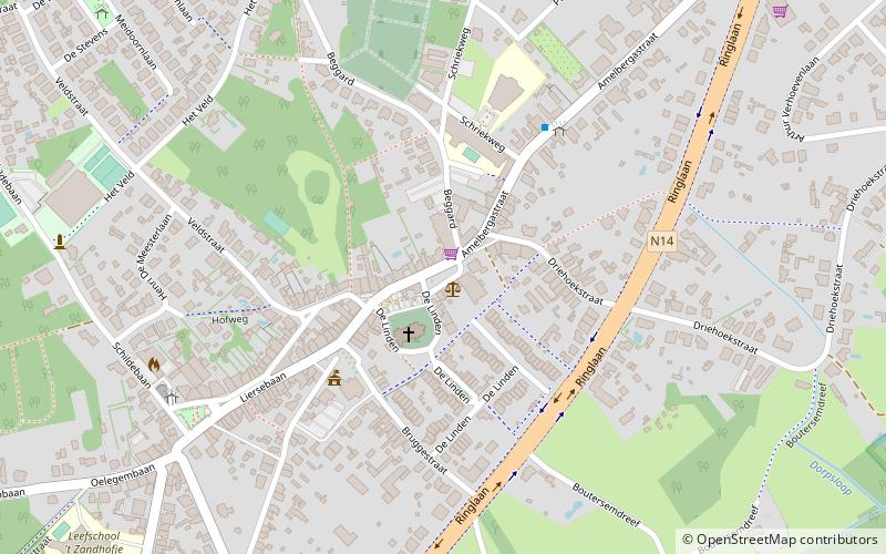
Map
Map
Facts and practical information
Oorlogsmonument 1914-1918 is a place located in Zandhoven (Vlaanderen region) and belongs to the category of memorial.
It is situated at an altitude of 36 feet, and its geographical coordinates are 51°12'57"N latitude and 4°39'42"E longitude.
Among other places and attractions worth visiting in the area are: AV Maria (monuments and statues, 4 min walk), Heilige Jozef (church, 13 min walk), Molen van Pulderbos, Malle (windmill, 41 min walk).
Coordinates: 51°12'57"N, 4°39'42"E
Address
ZandhovenZandhoven
ContactAdd
Social media
Add
Day trips


Frequently Asked Questions (FAQ)
Which popular attractions are close to Oorlogsmonument 1914-1918?
Nearby attractions include AV Maria, Zandhoven (4 min walk), Heilige Jozef, Zandhoven (13 min walk).