Franklin Rooseveltplaats, Antwerp
Map

Map

Facts and practical information
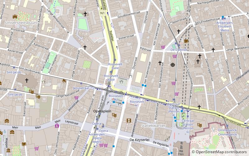
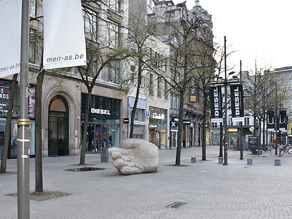
The Franklin Rooseveltplaats is a large square in the city of Antwerp, Belgium, placed at the crossing of the Leien and Turnhoutsebaan, and within walking distance of the Koningin Astridplein and Antwerp-Central station. The square functions primarily as the main bus station in Antwerp, which with its 28 platforms handles a large part of all bus transport in the city, as well as several tram routes. ()
Address
Antwerpen (Antwerpen-Noord)Antwerp
ContactAdd
Social media
Add
Day trips
Franklin Rooseveltplaats – popular in the area (distance from the attraction)
Nearby attractions include: Meir, Antwerp Zoo, Maagdenhuis Museum, Cathedral of Our Lady.
Frequently Asked Questions (FAQ)
Which popular attractions are close to Franklin Rooseveltplaats?
Nearby attractions include Van Wesenbekestraat, Antwerp (5 min walk), Aquatopia, Antwerp (5 min walk), Permeke Library, Antwerp (6 min walk), Begijnhof Antwerpen, Antwerp (6 min walk).
How to get to Franklin Rooseveltplaats by public transport?
The nearest stations to Franklin Rooseveltplaats:
Bus
Tram
Train
Ferry
Bus
- Roosevelt C5 • Lines: 600, 601, 602 (1 min walk)
- Roosevelt C4 • Lines: 610, 620, 621 (1 min walk)
Tram
- Roosevelt B2 • Lines: 11 (2 min walk)
- Roosevelt Italië • Lines: 1, 24 (2 min walk)
Train
- Antwerpen-Centraal (9 min walk)
Ferry
- Steenplein Antwerpen • Lines: Waterbus Schelde Hemiksem-Antwer, Waterbus Schelde Lillo-Antwerpen (24 min walk)
- Sint-Anna Jachthavenweg • Lines: Waterbus Schelde Hemiksem-Antwer, Waterbus Schelde Lillo-Antwerpen (33 min walk)


