Den Blakken, Wetteren
Map
Facts and practical information
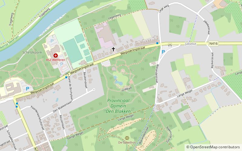
Den Blakken (address: Wegvoeringstraat 308) is a place located in Wetteren (Vlaanderen region) and belongs to the category of view point, park, relax in park.
It is situated at an altitude of 62 feet, and its geographical coordinates are 51°0'35"N latitude and 3°54'9"E longitude.
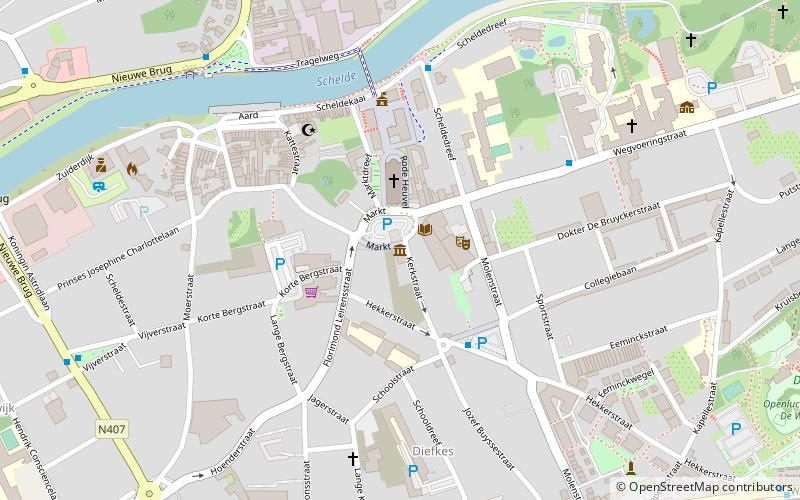
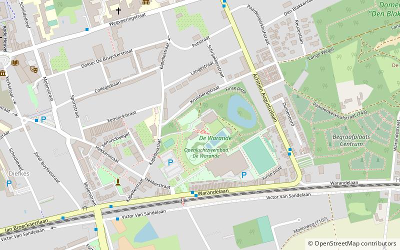
Among other places and attractions worth visiting in the area are: Binnenzwembad De Warande (watersports, 13 min walk), Sint-Gertrudiskerk (church, 20 min walk), Gemeentehuis Wetteren (historical place, 20 min walk).
Elevation: 62 ft a.s.l.Coordinates: 51°0'35"N, 3°54'9"E
Day trips


Frequently Asked Questions (FAQ)
Which popular attractions are close to Den Blakken?
Nearby attractions include Sint-Gertrudiskerk, Wetteren (20 min walk), Gemeentehuis Wetteren, Wetteren (20 min walk), Heemkundig museum, Wetteren (20 min walk).