Sint-Willibrorduskerk, Merksplas

Gallery (1)
Map
Map
Facts and practical information
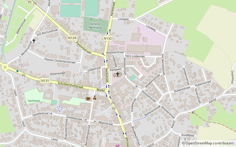
Sint-Willibrorduskerk (address: 2 Kerkstraat) is a place located in Merksplas (Vlaanderen region) and belongs to the category of church.
It is situated at an altitude of 92 feet, and its geographical coordinates are 51°21'32"N latitude and 4°51'51"E longitude.
Among other places and attractions worth visiting in the area are: Tempelhof, Beerse (history museum, 73 min walk), Vosselaar (locality, 86 min walk), Stadsboerderij, Turnhout (zoo, 91 min walk).
Coordinates: 51°21'32"N, 4°51'51"E
Address
2 KerkstraatMerksplasMerksplas
ContactAdd
Social media
Add
Day trips


