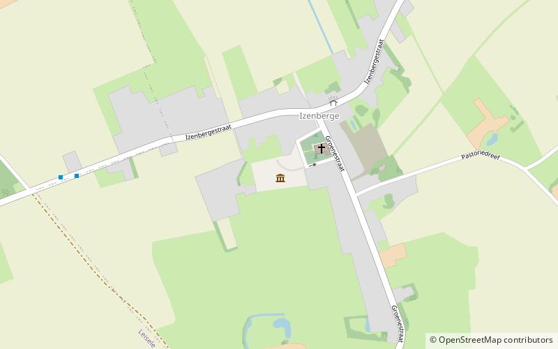
Openluchtmuseum "Bachten de Kupe", Alveringem
Map

Map

Facts and practical information
Openluchtmuseum "Bachten de Kupe" (address: Sint-Mildredaplein 1B) is a place located in Alveringem (Vlaanderen region) and belongs to the category of specialty museum, history museum, museum.
It is situated at an altitude of 36 feet, and its geographical coordinates are 50°59'35"N latitude and 2°39'13"E longitude.
Among other places and attractions worth visiting in the area are: Kasteel Beauvoorde, Veurne (historical place, 42 min walk), Caesarsboom (tree, 105 min walk), Canal de la Basse Colme, Veurne (canal, 130 min walk).
Coordinates: 50°59'35"N, 2°39'13"E
Day trips
Openluchtmuseum "Bachten de Kupe" – popular in the area (distance from the attraction)
Nearby attractions include: Kasteel Beauvoorde, Adinkerke Military Cemetery, Caesarsboom, Sint-Niklaaskerk.


