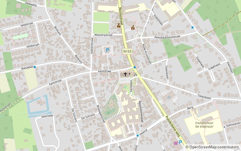
Sint-Pieterskerk, Lille

Gallery (1)
Map
Map
Facts and practical information
Sint-Pieterskerk (address: Kerkplein 6) is a place located in Lille (Vlaanderen region) and belongs to the category of church.
It is situated at an altitude of 62 feet, and its geographical coordinates are 51°14'17"N latitude and 4°49'24"E longitude.
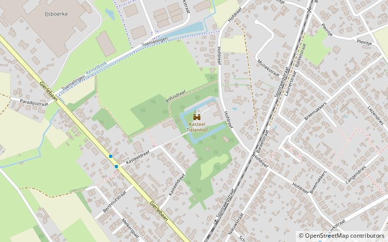
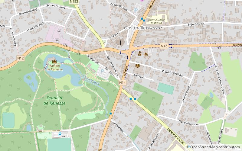
Among other places and attractions worth visiting in the area are: De Krawaten (monuments and statues, 1 min walk), Borrekens Castle (forts and castles, 67 min walk), Tielen Castle (forts and castles, 82 min walk).
Coordinates: 51°14'17"N, 4°49'24"E
Day trips