Ploegsteert Wood
Map

Map

Facts and practical information
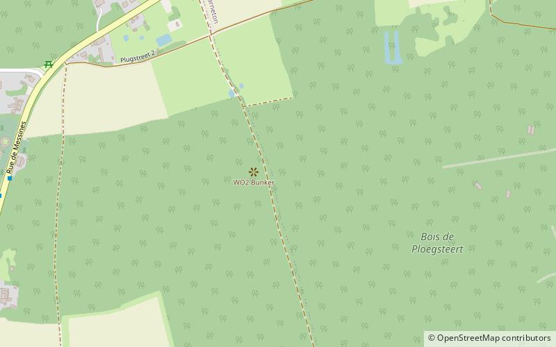
Ploegsteert Wood was a sector of the Western Front in Flanders in World War I, part of the Ypres Salient. It is located around the Belgian village of Ploegsteert, Wallonia. ()
Coordinates: 50°44'14"N, 2°53'26"E
Location
Wallonie
ContactAdd
Social media
Add
Day trips
Ploegsteert Wood – popular in the area (distance from the attraction)
Nearby attractions include: Ploegsteert Memorial to the Missing, Prowse Point Commonwealth War Graves Commission Cemetery, Ploegsteert Wood Military Commonwealth War Graves Commission Cemetery, Mud Corner Commonwealth War Graves Commission Cemetery.


