Beffroi de Gembloux, Gembloux
Map

Map

Facts and practical information
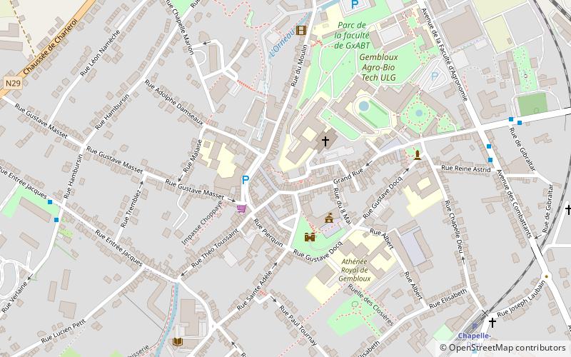
The Belfry of Gembloux is a high communal tower of 35 meters high, located on a rocky spur on the banks of the Orneau river and in the center of the town of Gembloux. It is in fact the bell tower of the former Saint-Sauveur church, raised and fitted out to serve new communal functions. The bell tower officially became a belfry at the beginning of the 19th century. Since 2005 it is classified as a UNESCO World Heritage Site as part of the Belfries of Belgium and France.
Coordinates: 50°33'39"N, 4°41'35"E
Address
Gembloux
ContactAdd
Social media
Add
Day trips
Beffroi de Gembloux – popular in the area (distance from the attraction)
Nearby attractions include: Spy Cave, Castle of Corroy-le-Château, Château de Sombreffe, Fort de Suarlée.


