Kalmthout Heath

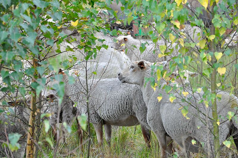
Gallery (3)
Map
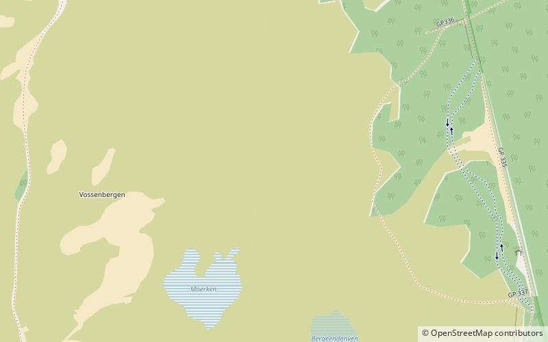
Map
Gallery
Facts and practical information
The Kalmthout Heath is one of the oldest and largest nature reserves of Flanders, bordering the Netherlands and part of the Dutch-Belgian cross-border park De Zoom – Kalmthoutse Heide. It used to be part of a vastly larger European heath landscape. Its name stems from its location: the Belgian municipality Kalmthout. ()
Area: 14.48 mi²Coordinates: 51°23'43"N, 4°26'28"E
Location
Vlaanderen
ContactAdd
Social media
Add
Day trips


