Pepingen
Map

Map

Facts and practical information
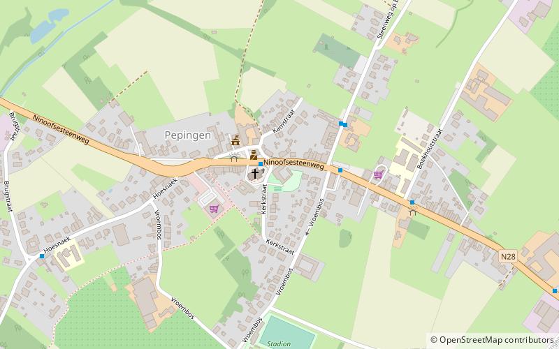
Pepingen is a municipality located in the Belgian province of Flemish Brabant. The municipality comprises the villages of Beert, Bellingen, Bogaarden, Elingen, Heikruis and Pepingen proper. It is also situated in the Pajottenland. On January 1, 2006, Pepingen had a total population of 4,352. The total area is 36.05 km² which gives a population density of 121 inhabitants per km². ()
Location
Vlaanderen
ContactAdd
Social media
Add
Day trips
Pepingen – popular in the area (distance from the attraction)
Nearby attractions include: Gaasbeek Castle, Den AST, Tramsite Schepdaal, Watermill Sint-Gertrudis-Pede.


