Oosterweel Link, Antwerp

Map
Facts and practical information
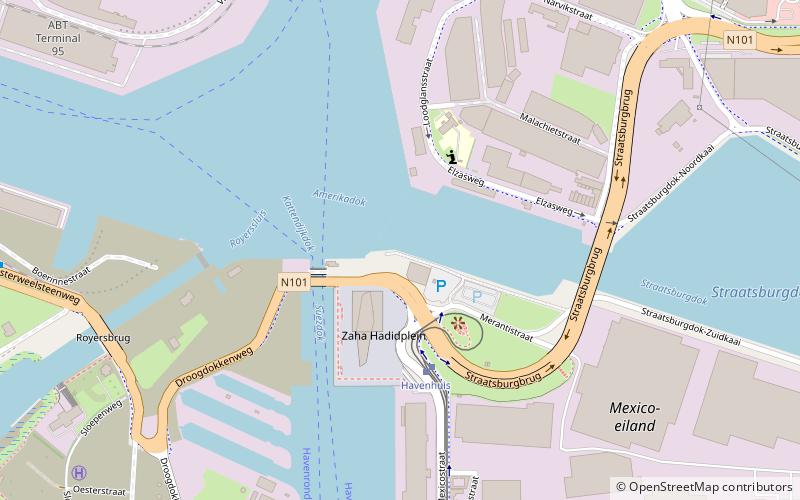
The Oosterweel Link is a construction project first proposed in 1996, intended to complete the R1 Antwerp Ring Road in Antwerp, Belgium. The firm Antwerp Mobility Management Company, is the Flemish Government controlled organisation assigned responsibility for the project. The Oosterweel link will connect the Expressweg near Blokkersdijk via a toll tunnel underneath the Scheldt, leading to a dual-layered tunnel under the Albert Canal and connecting with the Antwerp Ring Road at Merksem and Deurne. ()
Address
Antwerpen (Eilandje)Antwerp
ContactAdd
Social media
Add
Day trips
Oosterweel Link – popular in the area (distance from the attraction)
Nearby attractions include: Museum aan de Stroom, Kinepolis Antwerpen, Red Star Line Museum, Park Spoor Noord.
Frequently Asked Questions (FAQ)
Which popular attractions are close to Oosterweel Link?
Nearby attractions include Red Star Line Museum, Antwerp (17 min walk), Kempischdok, Antwerp (17 min walk), London Tower, Antwerp (21 min walk).
How to get to Oosterweel Link by public transport?
The nearest stations to Oosterweel Link:
Tram
Bus
Ferry
Train
Tram
- Havenhuis • Lines: 24 (3 min walk)
- Straatsburgdok • Lines: 1 (14 min walk)
Bus
- Royerssluis • Lines: 763, 764 (10 min walk)
- Straatsburgdok • Lines: 600, 601, 602, 610, 620, 621, 640, 641, 642, 720, 770, 771, 772, 775, 776 (14 min walk)
Ferry
- Sint-Anna Jachthavenweg • Lines: Waterbus Schelde Hemiksem-Antwer, Waterbus Schelde Lillo-Antwerpen (19 min walk)
Train
- Antwerpen-Luchtbal (20 min walk)


