Kolegem, Ghent

Map
Facts and practical information
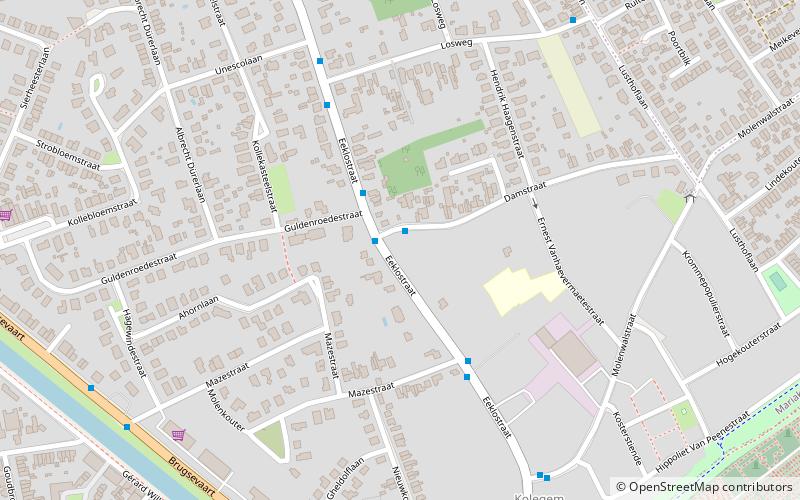
Kolegem is the eastern part of Mariakerke. Mariakerke is part of the city Ghent. ()
Coordinates: 51°4'34"N, 3°41'32"E
Address
Mariakerke (Kolegem)Ghent
ContactAdd
Social media
Add
Day trips
Kolegem – popular in the area (distance from the attraction)
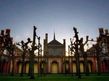
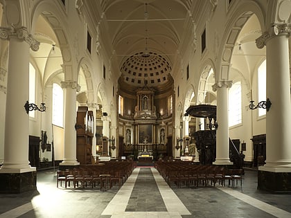
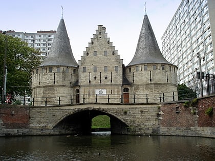
Nearby attractions include: The Museum Dr. Guislain – a museum on the history of mental health, St. Stefanus, Bourgoyen-Ossemeersen, Rabot.
Frequently Asked Questions (FAQ)
How to get to Kolegem by public transport?
The nearest stations to Kolegem:
Bus
Tram
Bus
- Mariakerke Damstraat • Lines: 68, 9 (1 min walk)
- Mariakerke Sint-Lutgardis • Lines: 68, 69 (4 min walk)
Tram
- Stop (17 min walk)
- Wondelgem Kolegemstraat • Lines: 1 (16 min walk)


