Deuzeld, Antwerp
Map

Map

Facts and practical information
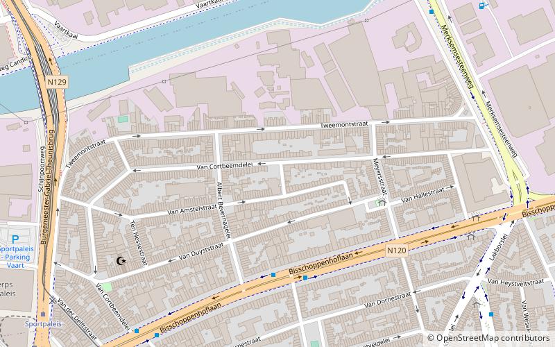
Deuzeld is a neighborhood in the Belgian municipality of Schoten. The neighborhood is located southwest of central Schoten, and lies near the border with the Antwerp district of Merksem. To the south of the Deuzeld neighborhood lies the Albert Canal, which connects Antwerp with Liège. The neighborhood is geographically separated from the rest of Schoten by several nature domains located along the path of the aborted A102 highway project. ()
Coordinates: 51°14'0"N, 4°27'0"E
Address
DeurneAntwerp
ContactAdd
Social media
Add
Day trips
Deuzeld – popular in the area (distance from the attraction)
Nearby attractions include: Antwerp Zoo, Sportpaleis, Bosuilstadion, Couwelaar Castle.
Frequently Asked Questions (FAQ)
Which popular attractions are close to Deuzeld?
Nearby attractions include Couwelaar Castle, Antwerp (11 min walk), Schijnpoort, Antwerp (17 min walk).
How to get to Deuzeld by public transport?
The nearest stations to Deuzeld:
Bus
Tram
Train
Bus
- Van Deynsestraat • Lines: 19, 413 (4 min walk)
- Van Nevelestraat • Lines: 19, 413 (8 min walk)
Tram
- Sportpaleis • Lines: 12, 5 (12 min walk)
- Sport • Lines: 2, 3, 6 (11 min walk)
Train
- Antwerpen-Luchtbal (34 min walk)


