Malem, Ghent
Map
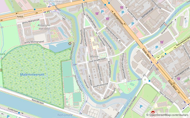
Map

Facts and practical information
Malem is a garden-city neighbourhood in the city of Ghent, Belgium. The neighbourhood was built between 1948 and 1953 in a very homogeneous garden-city idea, with uniform white houses, that were designed to house victims of World War II. The neighbourhood has kept its original character. The area is located on the west side of the Ghent agglomeration. ()
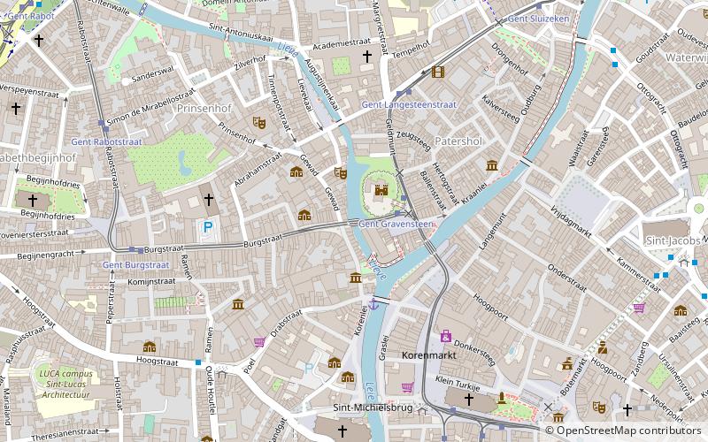
Coordinates: 51°3'9"N, 3°41'40"E
Address
Brugse Poort-Rooigem (Malem)Ghent
ContactAdd
Social media
Add
Day trips
Malem – popular in the area (distance from the attraction)
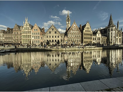
Nearby attractions include: Saint Nicholas Church, Design museum Gent, Gravensteen, Graslei.
Frequently Asked Questions (FAQ)
Which popular attractions are close to Malem?
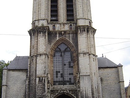
Nearby attractions include Sint-Jan-Baptistkerk, Ghent (16 min walk), Blaarmeersen, Ghent (16 min walk), Holy Corner, Ghent (22 min walk).
How to get to Malem by public transport?
The nearest stations to Malem:
Bus
Tram
Train
Bus
- Gent Einde Were • Lines: 14, 15, 16 (6 min walk)
- Gent Overzet • Lines: 14, 15, 16, 38, 39, 53, 65, 67, 9 (6 min walk)
Tram
- Gent Theresianenstraat • Lines: 4 (18 min walk)
- Gent Rozemarijnbrug • Lines: 2, 4 (18 min walk)
Train
- Gent-Sint-Pieters (36 min walk)


