Bruges–Ostend Canal, Bruges
Map

Map

Facts and practical information
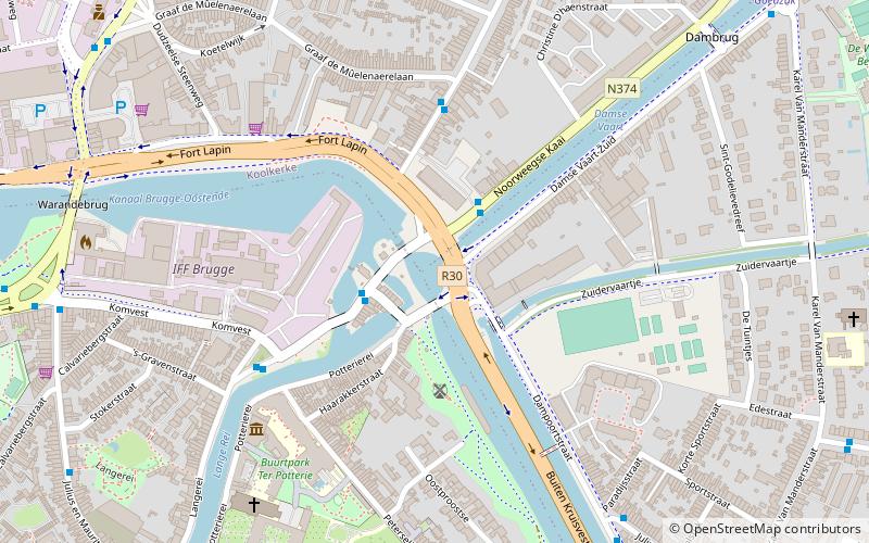
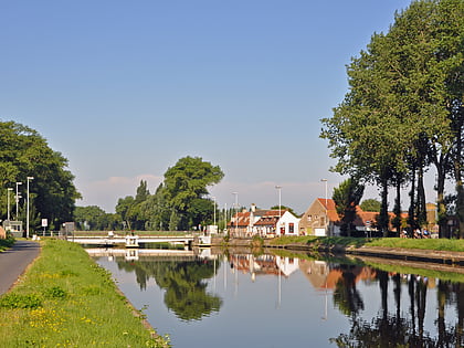
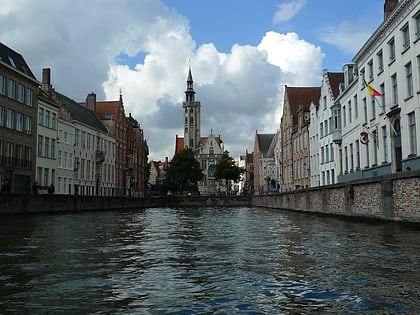
The Bruges–Ostend Canal is a 24.6 km long canal in Flanders, Belgium. The canal connects the North Sea to the Belgian interior, running between the cities of Ostend and Bruges. In Bruges, it is connected to three other canals: the Canal Ghent–Bruges, Damme Canal, and Boudewijn Canal which leads to the Port of Zeebrugge. Construction started in 1618, it was finished in 1623. ()
Address
Sint-Kruis (Dampoortkwartier)Bruges
ContactAdd
Social media
Add
Day trips
Bruges–Ostend Canal – popular in the area (distance from the attraction)
Nearby attractions include: Groeningemuseum, St. Walburga Church, Frietmuseum, Choco-Story.
Frequently Asked Questions (FAQ)
Which popular attractions are close to Bruges–Ostend Canal?
Nearby attractions include Bruges seminary, Bruges (7 min walk), Karel Van Manderstraat, Bruges (9 min walk), Koeleweimolen, Bruges (9 min walk), Sint Janshuismolen, Bruges (12 min walk).
How to get to Bruges–Ostend Canal by public transport?
The nearest stations to Bruges–Ostend Canal:
Bus
Bus
- Brugge Sasplein • Lines: 4, 43 (2 min walk)
- Brugge Noorweegse Kaai • Lines: 43 (2 min walk)


