Dampoort, Ghent
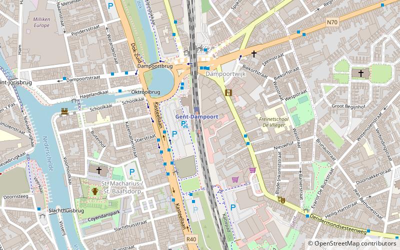
Map
Facts and practical information
Coordinates: 51°3'20"N, 3°44'27"E
Address
DampoortGhent
ContactAdd
Social media
Add
Getting there by public transportation
Public transportation stops near this location
- Bus
- Tram
- Train
 Bus
Bus
- Calculate routeGent-Dampoort 1 min walk
- Calculate routeGentbrugge 35 min walk
- Calculate routeGent Dampoort A4 2 min walk
- Calculate routeGent Dampoort A3 2 min walk
- Calculate routeGent Dampoort B1 3 min walk
- Calculate routeGent Dampoort B2 3 min walk
- Calculate routeGent Duivelsteen 16 min walk
- Calculate routeGent Lippensplein 16 min walk
- Calculate routeStop 17 min walk
- Calculate routeGent Zuid 17 min walk
Day trips


Frequently Asked Questions (FAQ)
Which popular attractions are close to Dampoort?
Nearby attractions include Saint Bavo's Abbey, Ghent (6 min walk), Portus Ganda, Ghent (8 min walk), Groot Begijnhof Sint-Amandsberg, Ghent (8 min walk), Leie Gent, Ghent (14 min walk).
How to get to Dampoort by public transport?
The nearest stations to Dampoort:
Train
Bus
Tram
Train
- Gent-Dampoort (1 min walk)
- Gentbrugge (35 min walk)
Bus
- Gent Dampoort A4 • Lines: 17, 18, 55S (2 min walk)
- Gent Dampoort A3 • Lines: 70, 71, 72, 74 (2 min walk)
Tram
- Gent Duivelsteen • Lines: 1, 4 (16 min walk)
- Gent Lippensplein • Lines: 1, 2, 4 (16 min walk)