Rue Neuve, Brussels
Map

Map

Facts and practical information
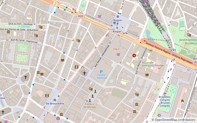
The Rue Neuve or Nieuwstraat, meaning "New Street", is a pedestrian street in central Brussels, Belgium. It runs between the Place de la Monnaie/Muntplein to the south and the Place Charles Rogier/Karel Rogierplein to the north. ()
Day trips
Rue Neuve – popular in the area (distance from the attraction)
Nearby attractions include: À la Mort Subite, Belgian Comic Strip Center, Tomb of the Unknown Soldier, Rogier.
Frequently Asked Questions (FAQ)
Which popular attractions are close to Rue Neuve?
Nearby attractions include Notre Dame du Bon Succès, Brussels (2 min walk), Boulevard Adolphe Max, Saint-Josse-ten-Noode (3 min walk), Théâtre des Martyrs, Brussels (3 min walk), Théâtre National, Brussels (3 min walk).
How to get to Rue Neuve by public transport?
The nearest stations to Rue Neuve:
Bus
Metro
Train
Tram
Ferry
Bus
- De Brouckère • Lines: 88 (4 min walk)
- Rogier • Lines: 126, 127, 128, 129, 212, 213, 214, 230, 231, 232, 233, 240, 241, 242, 243, 245, 250, 251, 260, 270, 271, 272, 318, 351, 355, 358, 410, 460, 461, 470, 58, 61, 88, Tour & Taxis-shuttle (4 min walk)
Metro
- Rogier • Lines: 2, 6 (4 min walk)
- De Brouckère • Lines: 1, 5 (9 min walk)
Train
- Rogier (5 min walk)
- De Brouckère (6 min walk)
Tram
- Rogier • Lines: 25, 3, 4, 55 (5 min walk)
- De Brouckère • Lines: 3, 4 (6 min walk)
Ferry
- Quai des Péniches - Akenkaai • Lines: Wb (16 min walk)
- Sainctelette • Lines: Wb (16 min walk)

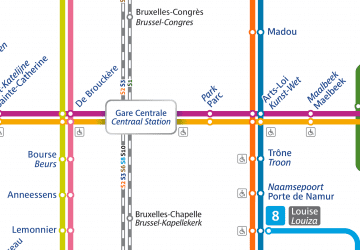
 Metro / Rail


