Rue Royale, Brussels
Map

Map

Facts and practical information
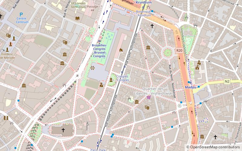
The Rue Royale or Koningsstraat is a street in Brussels, Belgium, running through the municipalities of Schaerbeek, Saint-Josse-ten-Noode and the City of Brussels. It is limited to the south by the Place Royale/Koningsplein in the city centre and to the north by the Place de la Reine/Koninginplein in Schaerbeek. ()
Address
Bruxelles-Ville (Notre-Dame aux Neiges)Brussels
ContactAdd
Social media
Add
Day trips
Rue Royale – popular in the area (distance from the attraction)
Nearby attractions include: À la Mort Subite, Hôtel des Galeries, Cathedral of St. Michael and St. Gudula, Belgian Comic Strip Center.
Frequently Asked Questions (FAQ)
Which popular attractions are close to Rue Royale?
Nearby attractions include Tomb of the Unknown Soldier, Brussels (1 min walk), Congress Column, Brussels (1 min walk), Cirque Royal, Brussels (3 min walk), Toy Museum, Brussels (4 min walk).
How to get to Rue Royale by public transport?
The nearest stations to Rue Royale:
Tram
Train
Bus
Metro
Ferry
Tram
- Congrès - Congres • Lines: 92, 93 (1 min walk)
- Botanique - Kruidtuin • Lines: 92, 93 (6 min walk)
Train
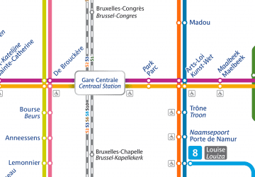
- Brussels-Congress (4 min walk)
- Bruxelles-Central - Brussel-Centraal (12 min walk)
Bus
- de Berlaimont • Lines: N18 (5 min walk)
- Treurenberg • Lines: 29, 63, 65, 66, N05 (5 min walk)
Metro
- Madou • Lines: 2, 6 (6 min walk)
- Botanique - Kruidtuin • Lines: 2, 6 (7 min walk)
Ferry
- Quai des Péniches - Akenkaai • Lines: Wb (26 min walk)
- Sainctelette • Lines: Wb (26 min walk)

 Metro / Rail


