Small Ring, Brussels
Map

Map

Facts and practical information
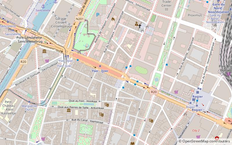
The Small Ring inner ring road, formally R20 and N0 is a series of roadways in central Brussels, Belgium, surrounding the historic city centre. The city centre is usually defined as the area within the Small Ring; this area is called the Pentagon due to its pentagonal shape. The pentagon forms the core of the City of Brussels municipality. ()
Address
Bruxelles-Ville (Quartier Nord)Brussels
ContactAdd
Social media
Add
Day trips
Small Ring – popular in the area (distance from the attraction)
Nearby attractions include: Belgian Comic Strip Center, Rogier, Botanical Garden of Brussels, Galeria Inno.
Frequently Asked Questions (FAQ)
Which popular attractions are close to Small Ring?
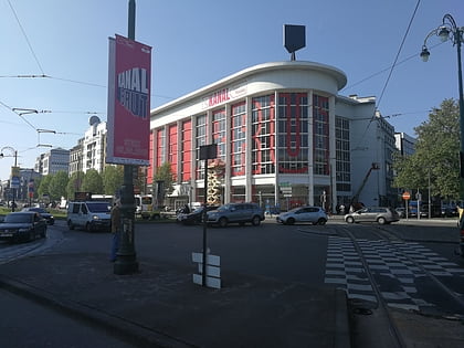
Nearby attractions include Koninklijke Vlaamse Schouwburg, Brussels (3 min walk), Théâtre National, Brussels (5 min walk), KANAL - Centre Pompidou, Brussels (7 min walk), Kaaitheater, Brussels (7 min walk).
How to get to Small Ring by public transport?
The nearest stations to Small Ring:
Bus
Metro
Tram
Train
Ferry
Bus
- Yser - IJzer • Lines: 126, 127, 128, 46, 58, N18 (2 min walk)
Metro
- Yser - IJzer • Lines: 2, 6 (2 min walk)
- Rogier • Lines: 2, 6 (8 min walk)
Tram
- Yser - IJzer • Lines: 51 (5 min walk)
- Rogier • Lines: 25, 3, 4, 55 (7 min walk)
Train
- Rogier (7 min walk)
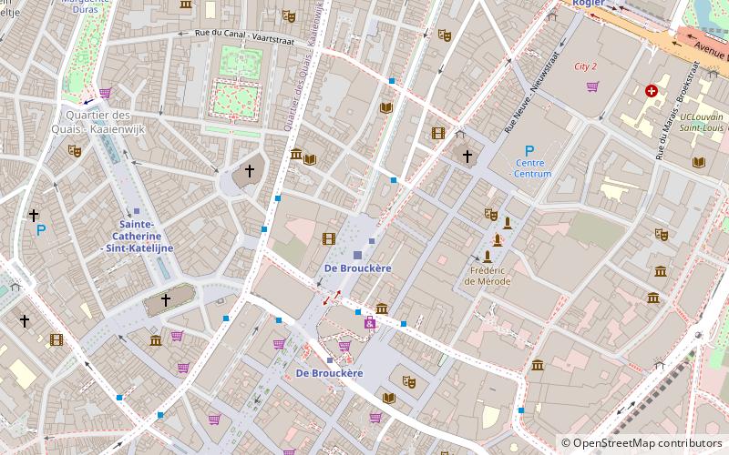
- De Brouckère (10 min walk)
Ferry
- Quai des Péniches - Akenkaai • Lines: Wb (8 min walk)
- Sainctelette • Lines: Wb (9 min walk)

 Metro / Rail


