Laughing Bird Caye
Map

Map

Facts and practical information
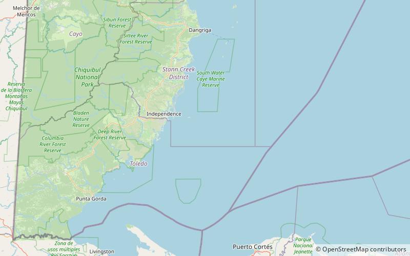
Laughing Bird Caye is an island off the coast of Placencia, Belize. On 21 December 1991, Laughing Bird Caye National Park was declared. It is spread over an area of 1.8 acres. The island is named after a population of laughing gulls which previously bred there. ()
Alternative names: Established: 1991 (35 years ago)Unesco: from 1996Area: 16.6 mi²Elevation: 0 ft a.s.l.Coordinates: 16°27'47"N, 88°11'51"W
Location
Stann Creek
ContactAdd
Social media
Add
