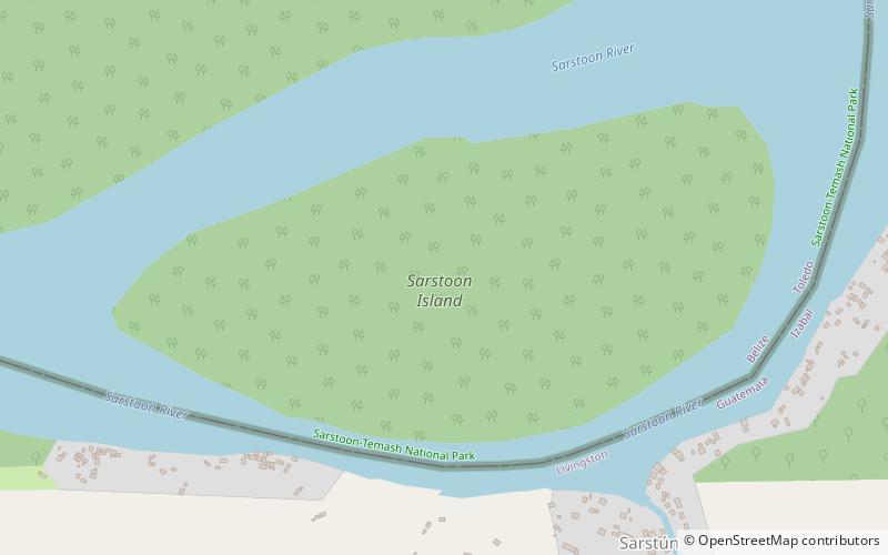
Sarstoon Island, Sarstoon-Temash National Park
Map

Map

Facts and practical information
Sarstoon Island is an island at the southernmost point of Belize located near the mouth of the Sarstoon River. The Sarstoon River is located at the south of Sarstoon Island and is the southern part of the Belize–Guatemala border. Sarstoon Island is part of the Toledo District of Belize, which is one of 6 districts of the country. The island is mostly mangrove swampland and is uninhabited. It covers approximately 0.68 square kilometres. ()
Area: 168.03 acres (0.2625 mi²)Coordinates: 15°53'27"N, 88°55'29"W
Address
Sarstoon-Temash National Park
ContactAdd
Social media
Add
