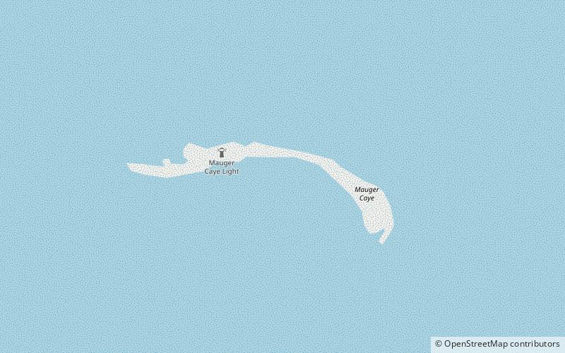
Mauger Caye Light
Map

Map

Facts and practical information
Mauger Caye Light is an active lighthouse on the atoll island of Mauger Caye, the most northerly in the Turneffe Cays archipelago, which lies 30 km east of the coast of Belize. It is one of a number of lighthouses, which have been built on the cays in the coastal waters of Belize. At the southern end of the Turneffe atoll, is a similar but smaller light known as Caye Bokel. The name Mauger comes from the Creole word for meagre, and Bokel is from the Dutch word for elbow. ()
Coordinates: 17°36'23"N, 87°46'14"W
Location
Belize
ContactAdd
Social media
Add
