Tanguiéta

Gallery (1)
Map
Map
Facts and practical information
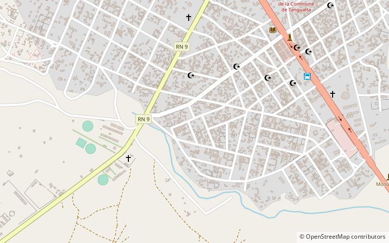
Tanguiéta is a town, arrondissement and commune located in the Atakora Department of Benin.The commune covers an area of 5465 square kilometres and as of 2013 had a population of 74,675 people. As of 2007 the town had an estimated population of 21,290. It lies on the RNIE 3 highway which connects it to Natitingou. ()
Location
Atakora
ContactAdd
Social media
Add