Trek Zone

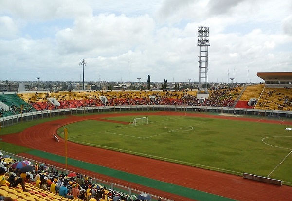
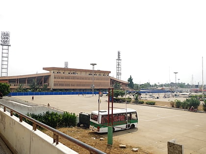
Stade de l'Amitié, Cotonou

#2 among attractions in Cotonou

Arenas and stadiums, Sport venue, Sport
Stade de l'Amitié

Facts and practical information

Alternative names: Coordinates: 6°23'10"N, 2°22'46"E
Address

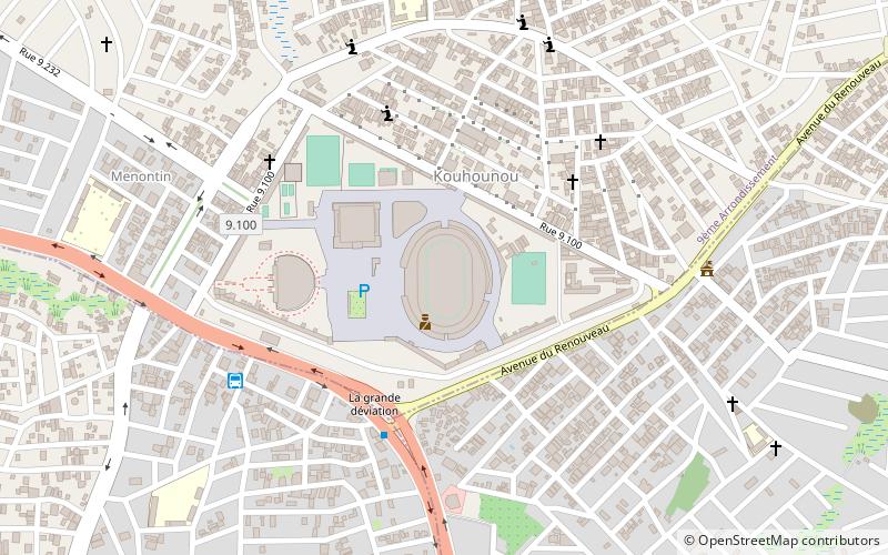
Rue 2651Cotonou Benin

ContactAdd
Social media
Add
Day trips

Stade de l'Amitié – popular in the area (distance from the attraction)

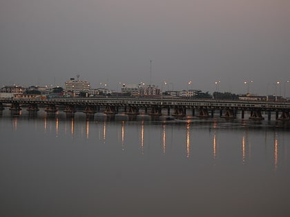
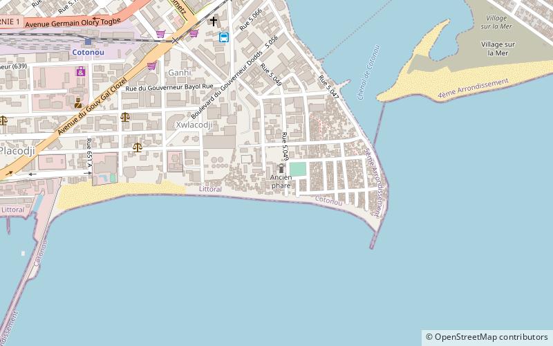
Nearby attractions include: Dantokpa Market, Cotonou Cathedral, Ancien Pont, Cotonou Lighthouse.

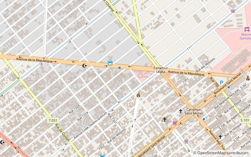
  • dantokpa market cotonou3.9 miE
  • cotonou cathedral4.6 miSE
  • ancien pont cotonou4.7 miSE
  • cotonou lighthouse location map
    4.9 miSE
  • cotonou central mosque location map
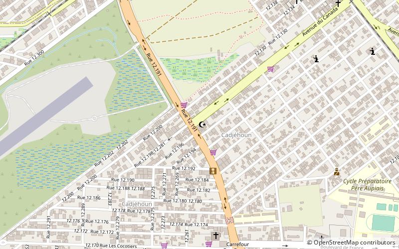
    2.1 miSE
  • 10th arrondissement of the littoral department cotonou location map
    3.3 miE
  • 2nd arrondissement of the littoral department cotonou location map
    3.5 miE
  • 13th arrondissement of the littoral department cotonou location map
    3.5 miE
  • 7th arrondissement of the littoral department cotonou location map
    3.5 miE
  • 5th arrondissement of the littoral department cotonou location map
    3.5 miE
  • 8th arrondissement of the littoral department cotonou location map
    3.5 miE

Frequently Asked Questions (FAQ)

How to get to Stade de l'Amitié by public transport?

The nearest stations to Stade de l'Amitié:

Bus
  • Confort Lines (8 min walk)
  • Gare routière (11 min walk)

Where to next? Visit littoral Littoral region page or discover the top tourist attractions in Benin.

BeninAliboriAtakoraAtlantiqueBorgouCollinesDongaKouffoLittoralMonoOuéméPlateauZou